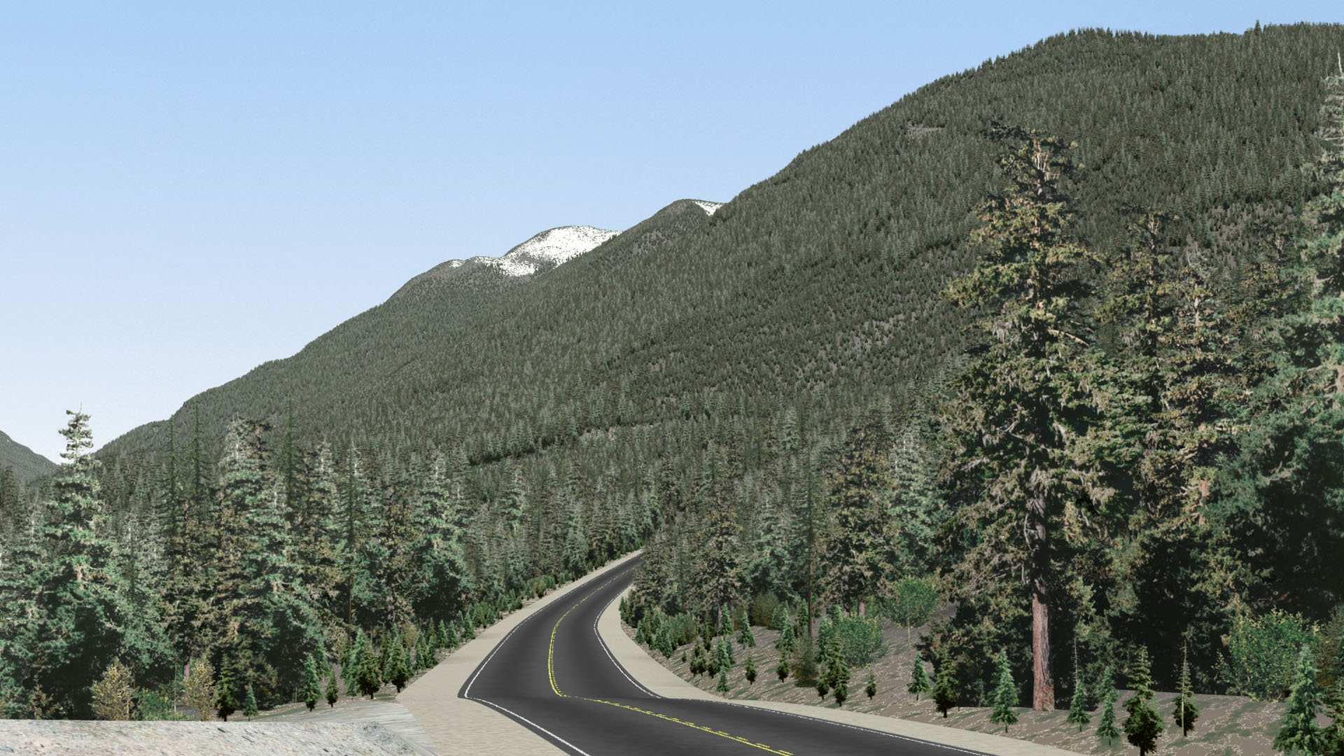


Chartwell delivers a complete visual management package that is objective, comprehensible, and with a visually pleasing landscape level result to help make informed decisions. From data capture to the transformation of vector data into photo-realistic visualizations, our team will build accurate, economically rational and operationally feasible designs to produce high quality digital terrain representations for any environmental impact evaluation. And since our visualization products can be integrated into any one of Chartwell’s existing services, our in-house visibility modeling capabilities can be utilized at any stage of the project. Whether it is forestry, energy, mining, or municipal level land use planning, visual assessments can be incorporated into projects for the design, development, and management of visuals goals.