Sector

Utilities and Energy

Chartwell has extensive knowledge and experience in developing and maintaining utility systems in a complex environment. Our strength lies in developing practical solutions for developments that span multiple overlapping jurisdictions, remote access issues and a variety of environmental constraints.

We also have extensive expertise in acquiring and utilizing LiDAR (Light Detection and Ranging) data. LiDAR is an essential technology in the planning, development, construction and management of resource projects. Our engineers, foresters and resource professionals pride themselves on being able to use this technology to provide cost effective solutions to clients.

We have established working relationships with professional service providers including geoscientists, engineers, wildlife biologists, fisheries biologists, archaeologists, timber harvesting and road building firms which allow us to provide a full suite of services for utility and energy resource planning. Our team is committed to working closely with our clients to provide tailored products or service solutions to meet the unique demands of each project.

Our Services

  • Site access reconnaissance
  • New corridor clearing and access, estimating, design and implementation
  • Forestry baseline Environmental Impact Assessments
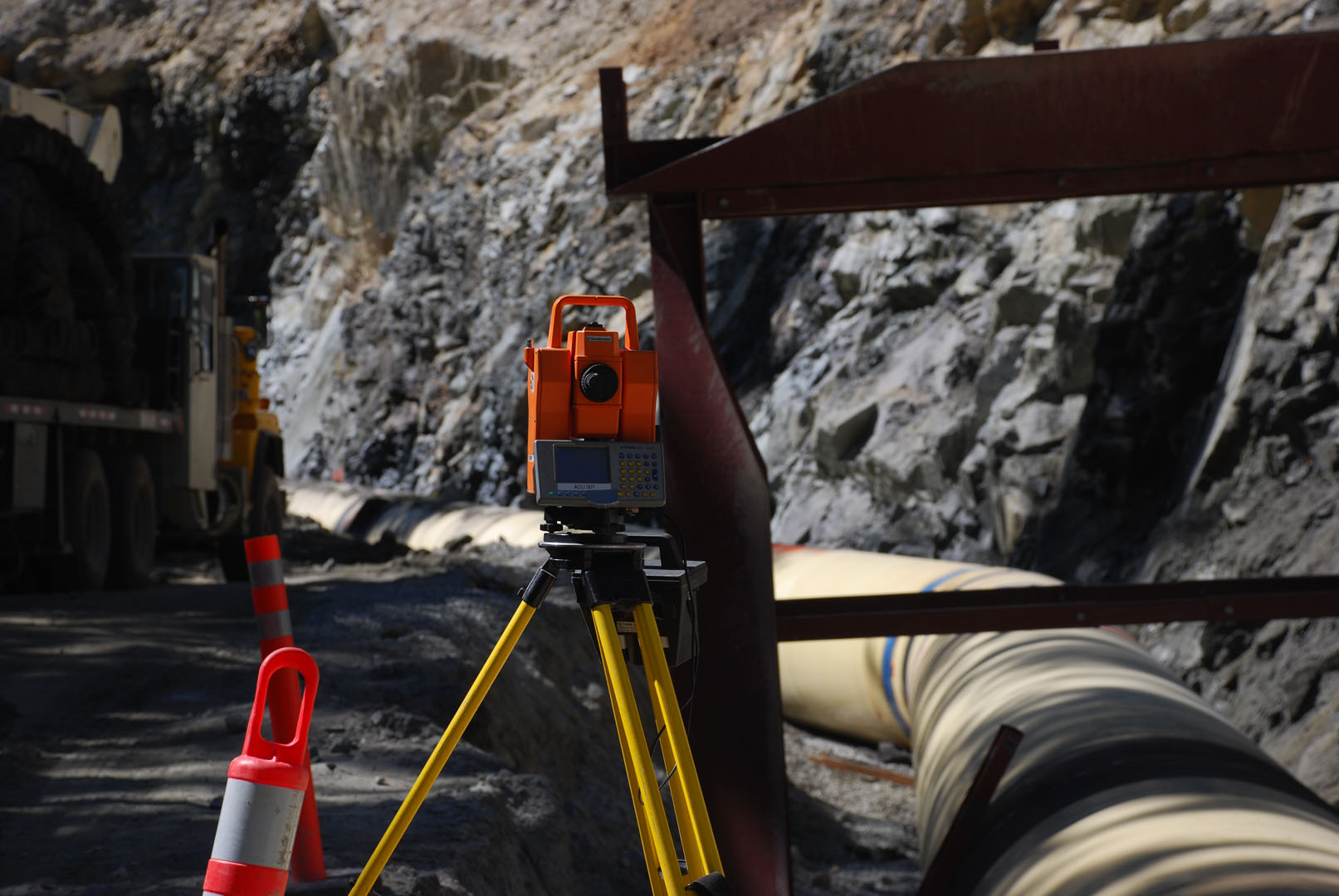
  • Surveying and layout of access roads, transmission line rights of ways and tower locations
  • Resource environmental assessments (e.g. riparian classification, terrain stability, gullies visual impact etc.)
  • Road access and transmission line route layout, planning and mapping
  • Road reconstruction and upgrade surveys
  • Site surveys for major culverts or bridge
  • GIS mapping and analysis including the use of LiDAR and Visual Impact Assessment
  • Vegetation management of existing corridors
  • Applications and permitting
  • Windthrow assessments and hazard tree evaluations

Safe certified since 2007. Learn more...